Smart City
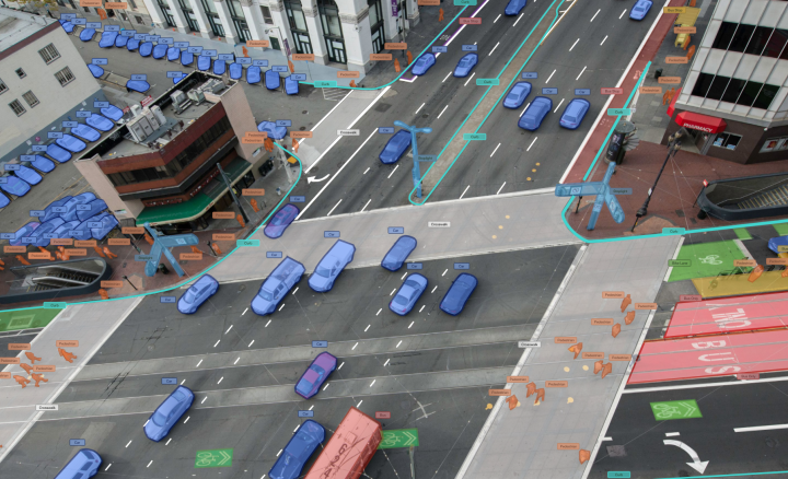
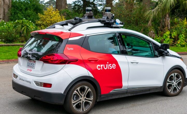
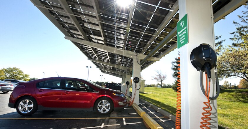
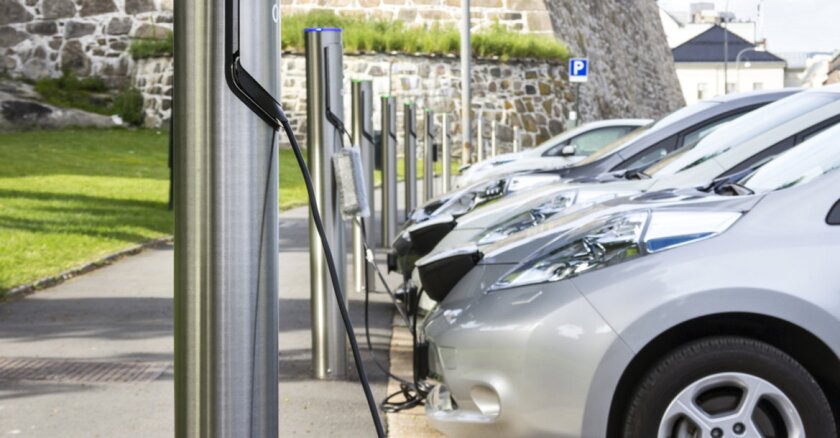
Explore the innovative realm of smart city solutions, where technology-driven approaches enhance urban living, sustainability, and efficiency. Delve into how smart cities integrate advanced technologies such as Internet of Things (IoT), artificial intelligence (AI), and data analytics to optimize infrastructure, services, and resource management. Discover the diverse applications of smart city solutions, from intelligent transportation systems and energy-efficient buildings to digital governance and citizen engagement platforms. Stay updated on the latest advancements in smart city initiatives worldwide, driving forward-thinking urban development and fostering collaboration for smarter, more livable cities.